
College Station Neighbors by Block
Public sources describe a College Station block in layers. The city parcel map supplies geometry, subdivision, zoning, city-limit, and ETJ context. Brazos CAD supplies the owner, tax-mail address, situs address, parcel identifier, value, exemptions, and legal description for an individual parcel. The County Clerk index can explain the transfer history for a lot. Voter records and election rosters have narrow civic uses, while the city neighborhood program identifies registered association geography. None creates a verified list of every neighbor or occupant around an address.
| Block source | What it can show about a College Station block | Access route |
|---|---|---|
| City parcel map | Parcel geometry, subdivisions, zoning, city limits, and ETJ context | College Station parcel search |
| CAD parcel record | Owner, mailing and situs details, value, exemptions, and parcel ID | Brazos CAD Property Search |
| Deed index | Transfer parties, recording date, legal description, and plat references | Brazos Official Records |
| SOS voter extract | Permitted precinct, street, ZIP, status, and history fields in a lawful request | Texas voter-information request form |
| City HOA layer | Registered association name and neighborhood polygon | Neighborhood Partnership Program |
An owner record is not an occupancy record. The situs address is the real-property location, while the mailing address is where tax correspondence goes. A nonmatching address may be an owner’s other address, an agent, a postal box, or a prior record. A homestead exemption is parcel evidence tied to an exemption claim, not a list of people who live there. For a local block check, label a result as owner, registrant, historical occupant, or association contact instead of converting it into a broader claim.
Map College Station Parcels
The reliable local method is parcel by parcel. Use the city Planning and Development map with parcel, subdivision, and city-limit layers, then search the address or pan to its street. Click the subject parcel, read the visible boundary, and click each adjoining parcel individually. Save each parcel or address identifier and run it as a separate query through CAD and the city parcel page. The text inspection confirmed these layers and parcel or owner tabs, but did not verify a radius tool, an automatic buffer, an adjacent-parcel export, or a measure workflow.
- Locate the known College Station address on the city map and turn on parcel, subdivision, and boundary layers.
- Click the subject parcel, then click each visible adjoining parcel rather than assuming a nearby shape is an adjacent lot.
- Save the parcel ID, lot or block, subdivision, and legal-description details for each separate CAD check.
- Compare the parcel result with the deed index when ownership timing matters, and treat every result as dated evidence.
Roads, drainage easements, creeks, rail lines, association boundaries, and city or ETJ lines can separate polygons that look close on a screen. For a complete named-street chain rather than the parcels around one address, use the College Station street directory.
Note: The city map supports careful parcel clicks, but no verified automatic radius search should be described as an available College Station feature.
College Station GIS Layers
The city maps hub and open-data service add useful geography to a neighbor lookup. Named layers include parcels, subdivisions, city limits, ETJ, land use, zoning, schools, and HOA information. The parcel search has Parcel Info, Owner Info, Restriction Details, Land Use, Building, Legal Description, and Inspections tabs. It bridges an address to a parcel and legal-description context, but it is not interchangeable with the county appraisal record. Follow a parcel or owner detail to CAD when appraisal information is needed.
The city GIS HOA feature layer uses Registered_Name as its display field and can be queried as JSON, GeoJSON, or PBF. That field identifies a registered association name and its enrolled polygon, not people in the neighborhood. Map data can be refreshed, and city boundaries, postal labels, subdivision lines, and parcel records describe different geographic systems. Keep the original address string in a search note when it differs across sources.
The College Station GIS layer inventory shows the parcel, subdivision, HOA, boundary, and planning layers available for neighborhood context.
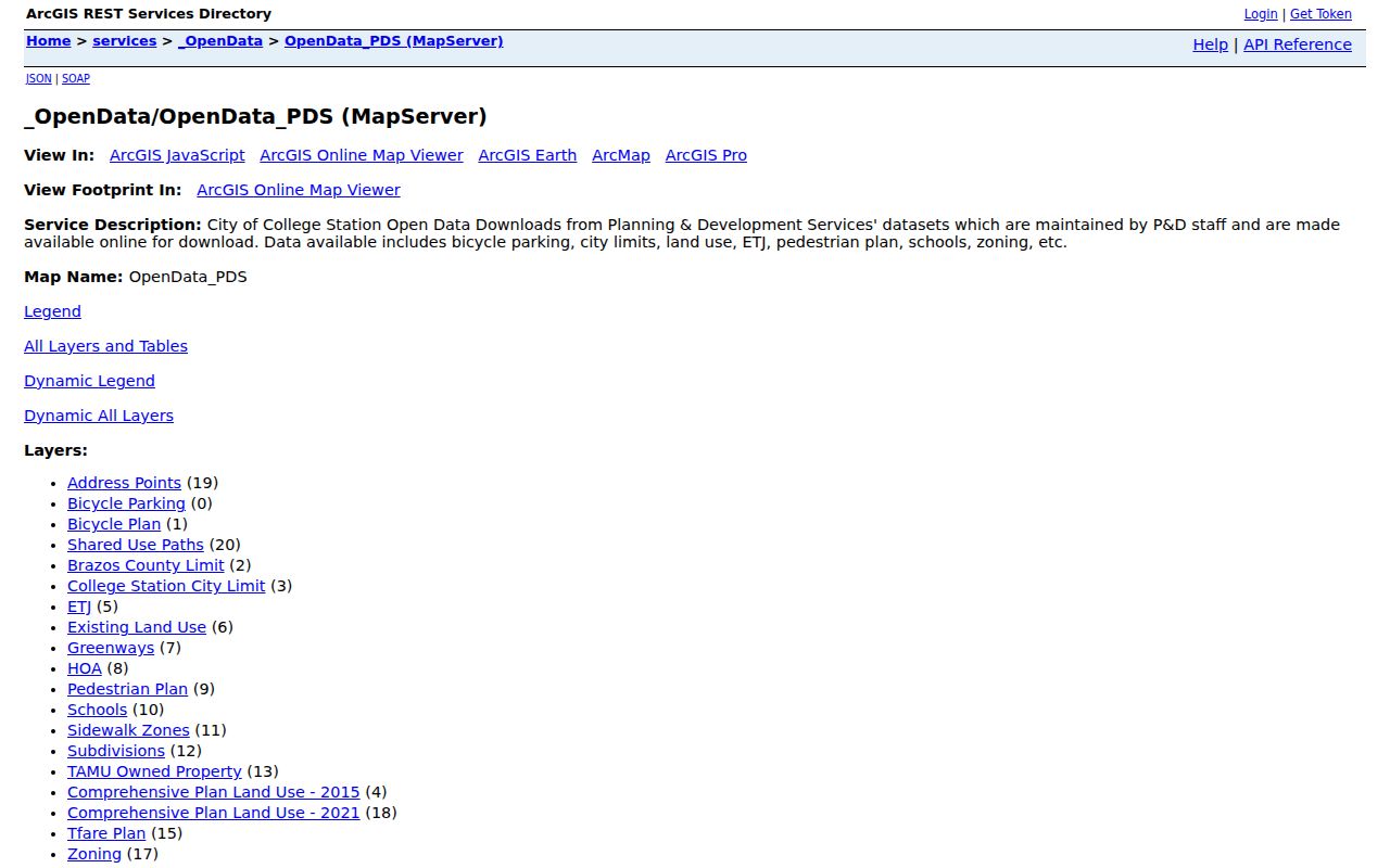
Use the layers to explain the block around a parcel, then confirm the relevant parcel identifier in the proper city or county record.
College Station Voter Boundary
VoteTexas is a name, VUID, or Texas driver's-license route for a known voter. It is not a public browse of all voters on a College Station block. Texas Election Code §18.005 identifies public list fields subject to confidential-address exceptions, and the state public-information form permits specific county, precinct, and geography selections. The form can request permanent and mailing street or ZIP fields, active, suspense, or cancelled status, and election-history filters. It is a written statewide extract route, not a quick block list.
A full voter-file request requires the requestor’s physical address and phone, a signed affidavit before a notary, full payment, and a $75 deposit. Delivery can be by CD-ROM or FTP as fixed-width text in a ZIP archive. The affidavit prohibits advertising or promoting commercial products or services with the information, and the research identifies a violation as a Class A misdemeanor under Election Code §18.067. Election rosters can show recorded participation and voting-method context for a date, but they do not show ballot choices or the full population of nearby homes.
College Station Neighbors Association Layer
The City Neighborhood Partnership Program maintains a registered neighborhood and HOA database, map, and list that it updates annually. Its boundary approach can use development and property lines, natural or constructed features, and population or cultural factors. That is more precise than treating a ZIP as a neighborhood. The published Southside Area Neighborhood Plan identifies four useful College Station leads: Oakwood Neighborhood Association, Lincoln Area Association, Pershing Place Neighborhood Association, and Wolf Pen Creek Association. They are named local examples, not a complete citywide association roster.
| Oakwood Neighborhood Association | Named registered Southside association lead. |
|---|---|
| Lincoln Area Association | Named registered Southside association lead. |
| Pershing Place Neighborhood Association | Named registered Southside association lead. |
| Wolf Pen Creek Association | Named registered Southside association lead. |
Registered groups publish participation rules such as open membership for people in the area, voluntary dues, bylaws, an annual general meeting, and notice requirements. The city program may identify an association and contacts, but it does not publish a private membership list. Open meetings and records requirements do not turn a membership spreadsheet into a public source.
The College Station neighborhood program describes the registered-association route and program participation rules.
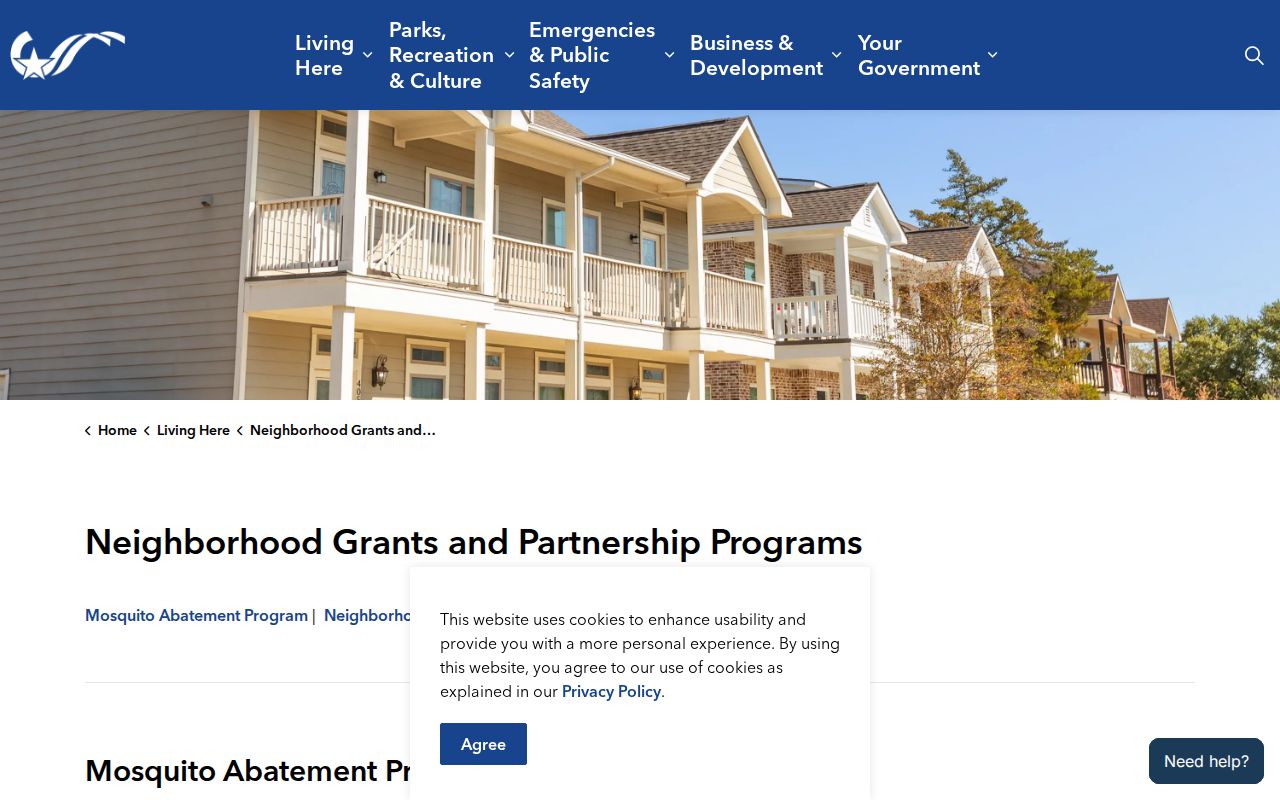
Contact a group for a public event or history question, not to infer membership from an address or parcel boundary.
College Station Neighbors in Local History
Historical block work uses different evidence from a current parcel view. Carnegie History Center can supply directories, newspapers, maps, obituaries, organization histories, oral histories, and microfilm. Texas A&M Cushing collections add Olio yearbooks and campus-organization context. City Project HOLD has local photographs, oral histories, videos, and objects. These resources can connect a person or building to a time period, but a historical listing is not proof of current residence. No open official roster was found for congregation, block-watch, or civic-club membership.
College Station’s early neighborhood history helps explain an address mismatch. The city reports that 109 campus houses existed in 1938. College Park and Oakwood developed in the 1920s and 1930s, with first houses occupied in 1939, and campus houses were sold from 1941 through 1972. A modern parcel can retain the lot while its earlier structure was moved, demolished, or changed. Compare a directory, historic image, plat, and deed instead of expecting one source to answer each question.
The College Station historical landmarks collection provides local context for early neighborhoods and campus houses.
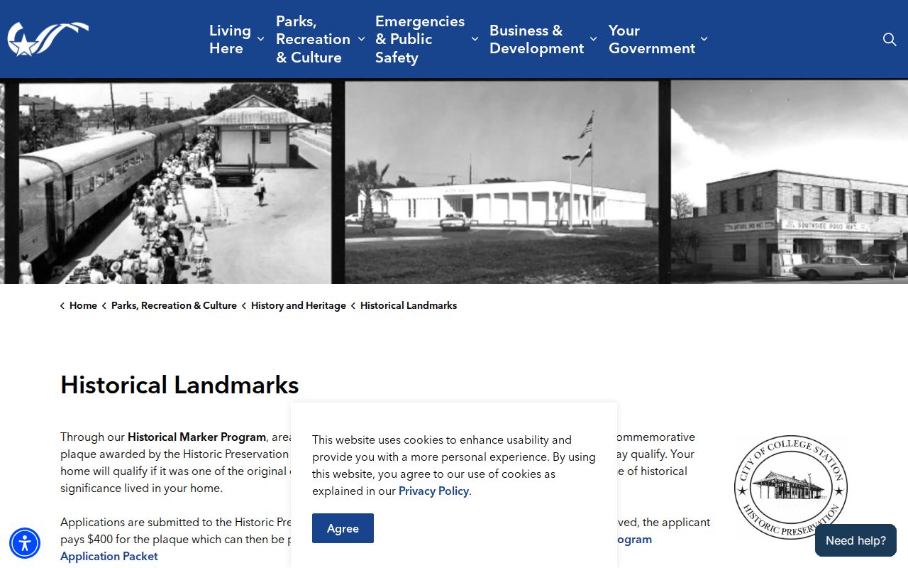
Historical context can clarify a building or neighborhood name, but parcel, deed, and dated directory evidence still need to be read separately.
College Station Neighbors Source Comparison
Official records and commercial neighbor tools serve different purposes. The official route is slower because it requires parcel-by-parcel checks, separate custodians, and dated evidence. It also makes the source and its limits visible. Commercial tools may compile material from many places, often at a cost, but can merge same-name profiles, retain old addresses, duplicate records, or hide source dates. Treat a compiled profile as a lead to verify, never as a substitute for the city, county, or state record.
| Source category | Strength | Limit |
|---|---|---|
| Official parcel and deed records | Custodian, date, parcel, and legal-description context | They identify interests and documents, not every occupant. |
| Official voter and association routes | Defined civic or geographic context | Confidentiality, affidavits, and roster limits apply. |
| Commercial compiled tools | Broad leads across sources | Accuracy, source date, and same-name problems need independent checks. |
College Station Neighbors Privacy Limits
Several useful-looking sources are not public. Utilities and delivery services do not supply a public resident list. Motor-vehicle personal data is restricted. Private association rosters, school records, and household-member lists are not substitutes for an address search. An absence from CAD, VoteTexas, a directory, or a court index can mean a protected address, a confidential voter record, a sealed file, a name variation, a stale entry, or a record held by another custodian. It does not prove a person was never associated with the block.
Texas Address Confidentiality Program participants can use a substitute mailing address, and qualifying voter information can be protected. The program is administered by the Attorney General and relies on eligibility documentation and a safety process. A city or county public-information request can seek an existing executive record that is not online, but it cannot override an exception or require the agency to create a neighbor list. Make requests narrow by address, date, and record type. For historic block context, use Carnegie or Cushing instead of trying to reconstruct protected information.
Lawful use. Use College Station neighbor records for personal, lawful purposes such as neighborhood history, civic understanding, or reconnecting. Do not use any result to stalk, harass, threaten, or expose a protected person.